← Back to Home
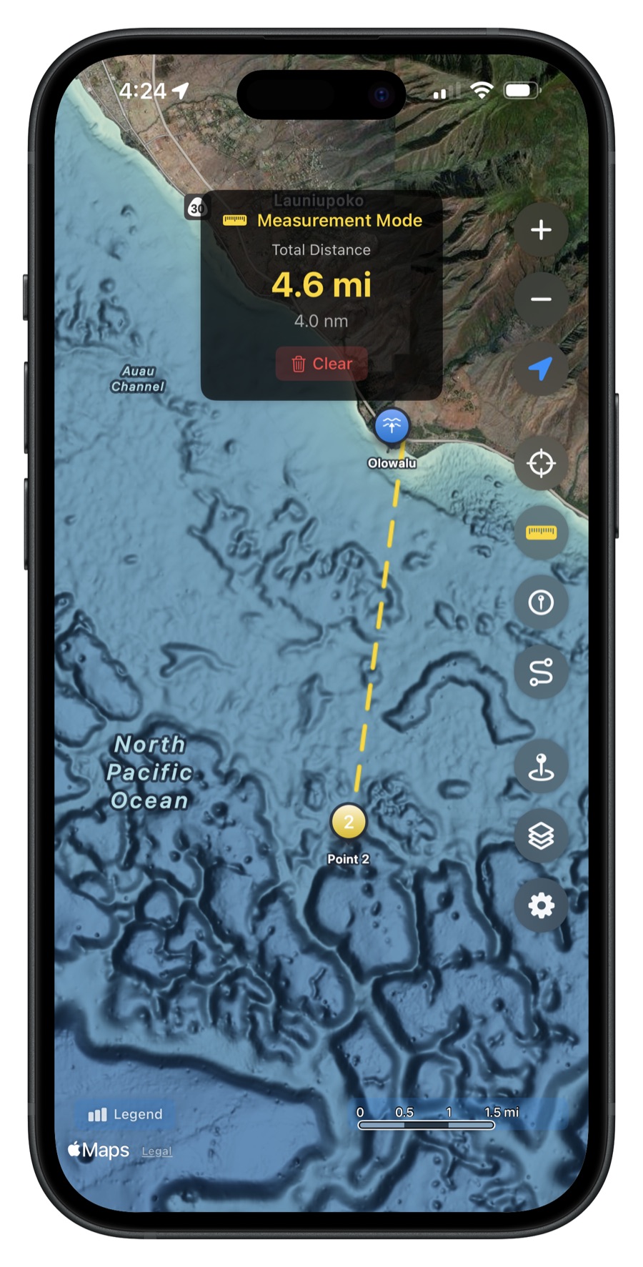


Measurements
Measure the distance between any two points on the map.
Simple and Accurate
Tap the measurement tool, set your start point, then pan the map to your end point. A line is drawn between the two locations with the distance displayed in real time. Great for planning runs to fishing grounds, estimating fuel needs, or measuring the size of underwater structures.
Multiple Units
Choose your preferred distance unit in Settings:
- Nautical miles -- standard for marine navigation
- Statute miles -- familiar for everyday use
- Kilometers -- metric standard
Use Cases
- Measure distance from harbor to your fishing spot
- Check how far offshore a FAD buoy is
- Estimate the length of a reef or ledge
- Plan your route before heading out
Get Hawaii Ocean Map
$9.99 one-time purchase. No subscriptions, no ads.