← Back to Home


Whale Sanctuary
5 NOAA humpback whale sanctuary zones covering 3,538 km² of Hawaiian waters.
NOAA Sanctuary Boundaries
View the boundaries of all 5 Hawaiian Islands Humpback Whale National Marine Sanctuary zones. Boundary data is sourced from the Hawaii Statewide GIS Program, originally from NOAA.
5 Protected Zones
The sanctuary is divided into five zones across the Hawaiian Islands:
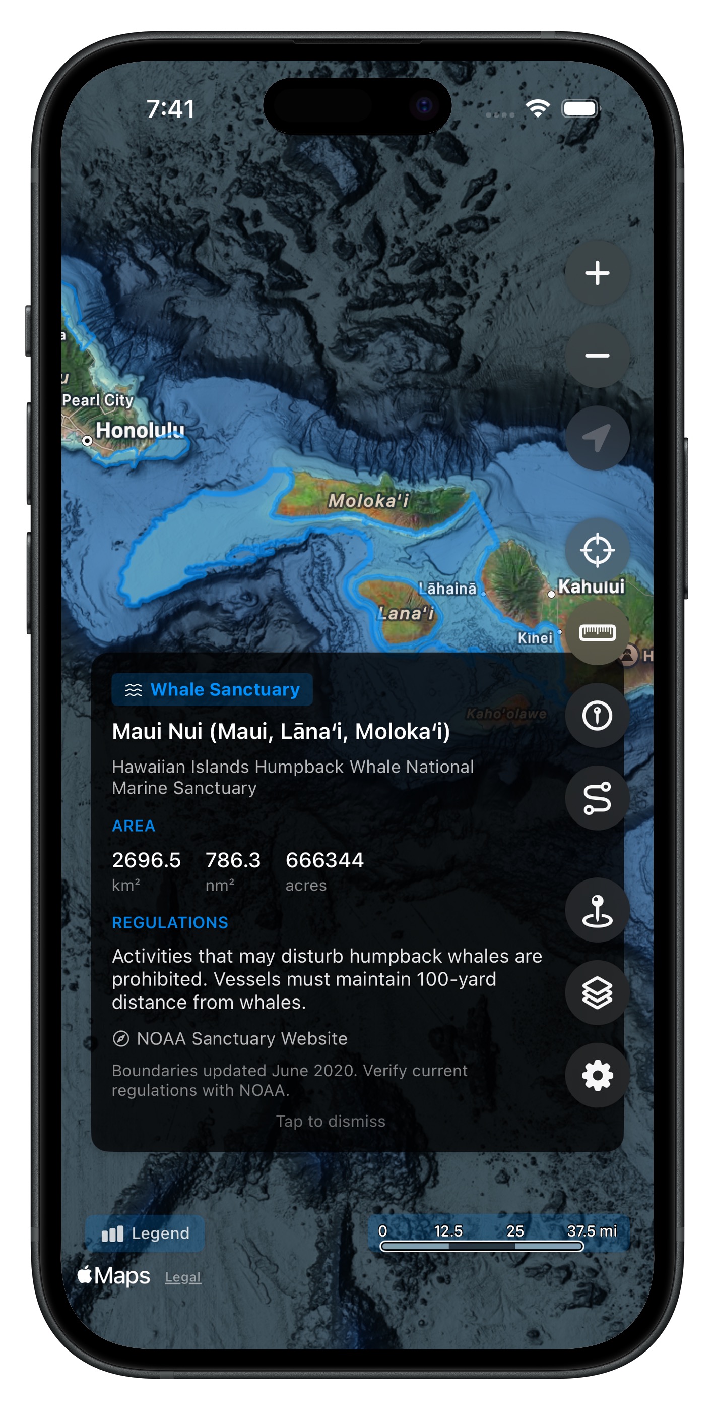
- Maui Nui (Maui, Lana'i, Moloka'i) -- 2,697 km²
- Big Island (West Coast) -- 386 km²
- North Shore O'ahu -- 231 km²
- South Shore O'ahu -- 121 km²
- Kaua'i (North Shore) -- 104 km²
The Maui Nui zone is by far the largest, encompassing the channel complex between Maui, Lana'i, Moloka'i, and Kaho'olawe -- prime humpback whale calving grounds.
Tap for Details
Tap any zone on the map to see its name and coverage area. Toggle individual zones on or off from the Map Layers page. All zones are available offline -- no download required.
Get Hawaii Ocean Map
$9.99 one-time purchase. No subscriptions, no ads.